TNFD: Assessing the biodiversity impact of palm oil facilities using the L.E.A.P approach.
Download the report

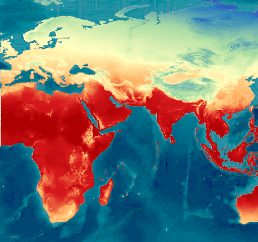
Increase insurance underwriting accuracy with satellite data.
Evaluating risks over large, remote areas where ground data is either unavailable or unreliable is a big problem for insurance providers - especially now, with increasingly frequent extreme weather and fire events taking place.
Satellite imagery provides an efficient and reliable way to analyse risk for large, geographically distributed or difficult to access insured assets.