Nature Based Solutions (NbS) projects are a popular source of credits on the voluntary carbon market. As well as avoiding or removing carbon emissions, they commonly offer ‘co-benefits’ such as biodiversity conservation and sustainable livelihoods. However, not all credits are made equal, and purchasers are increasingly concerned about the quality of the projects they get credits from: they don’t want to be accused of greenwashing, and they don’t want to discover that the projects they’ve paid for are offsetting less carbon than they’ve claimed.
Today, many purchasers conduct their own due diligence on projects, and use a combination of Earth observation data and global climate datasets to:
- Quickly assess if a project has high-quality carbon offsets
- Verify project developers’ claims using independent data
- Safeguard their reputation and defend integrity of projects by demonstrating a credible baseline assessment was conducted
In this post we explore the due diligence process many of our customers use Earth Blox to rapidly assess projects before they purchase carbon credits.
How Nature Based Solutions projects work
Carbon markets can be complicated, so let’s first look at how these projects work. A typical project might look something like this:
Origination
A Project Developer discovers an opportunity for an NbS Project. They’ll identify the type of project (REDD+, ARR etc.), and the methodology (VCS, Gold Standard, ACR) they wish to use. Based on those choices, they’ll need to complete the appropriate project documentation for review and approval by a VVB.
Validation
An approved Validation / Verification Body (VVB) will examine the proposed project to determine whether it complies with the rules of the chosen methodology.
Implementation
Once validated, the Project Developer can get started with the project. During the course of the project, they’ll need to report regularly on how the project is going and performing against their chosen methodology and claims.
Verification
An approved Validation / Verification Body (VVB) will verify that the figures provided by the Project Developer are accurate, and that the project has correctly quantified the carbon reductions/removals as described in the project plan. They will then give the green light for credits to be issued.
Credit issuance
The project is reviewed by the organisation who is issuing credits. Once approved, offset credits are deposited in the Project Developer’s account.
Due diligence
Purchasers who wish to buy the credits from a project may perform their own due diligence on a project (or outsource this) - their goal is to satisfy themselves of the quality of credit being issued.
Monitoring
Purchasers who have invested in projects generally want to be aware of the state of projects (and don’t want to rely on the mandatory reporting from the Project Developer which can be infrequent).
These final stages of due diligence and monitoring also happen at other points in the process, including before credits have been issued.
How due diligence for Nature Based Solutions works
The process for getting a project validated and verified is complex and onerous; due diligence is not an attempt to recreate the entire methodology - but it does cover the same principles:
- Checking additionality
- Checking carbon measurements
- Identifying risks of non-permanence
- Identifying leakage
The aim is to assess these areas, often remotely - avoiding the high costs of site visits; and therefore satisfy the purchaser that the project is of high quality. Some due diligence activities may not relate to the specific project site - such as monitoring changes in national legislation - however, quickly understanding a project site and its surroundings is where remotely-sensed data comes into its own, and tools like Earth Blox can help.
Due diligence with Earth Blox
Let’s take a look at how our customers use Earth observation data and global climate datasets on Earth Blox to help assess a REDD+ (reduction in emissions from deforestation and forest degradation) project. This list isn’t exhaustive, but the value of a flexible tool like Earth Blox is that you can tailor it to your exact requirements. Many of our customers report this process takes them hours on Earth Blox, versus days using other types of software or external consultants.
Check additionality
1. Check if planned deforestation is likely to take place, based on the land history.
- Earth Blox template project: NbS: Assess historical deforestation
- Dataset: Hansen Global Forest Change
- Watch the video
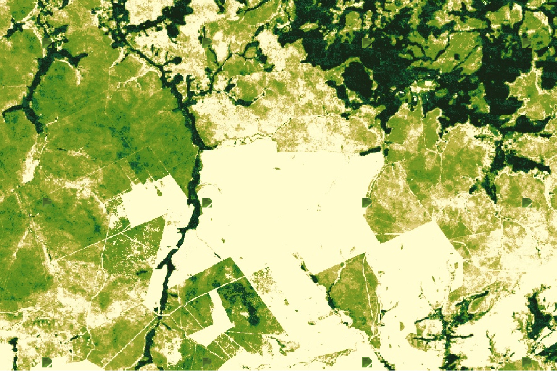
Create a time series to assess trends in deforestation going back at least 10 years around your project site to assess risk of further forest loss. For example if no forest removal is visible, and there is no road encroachment, the risks are less than if we can see forest removal over time.
It is important to differentiate between planned and unplanned activities. Time series analyses can help differentiate between forest loss in plantations versus forest loss due to illegal activities. For example plantations generally follow a rotation pattern: plant, grow, harvest, plant, grow harvest over time.
This analysis can be performed using a dataset such as Hansen Global Forest Change for a quick estimate, which can also be compared with other land cover classification products to get an overall view of the land cover in your project area.
These datasets are good for a quick assessment and to give you a high-level overview of land cover dynamics, forest loss, and deforestation. However they are global products designed to work over large areas, which introduces inaccuracies at a more local level. Many of these are known, and warned about, such as with the Hansen dataset. This is almost inevitable when you create global datasets like this, and you are trading accuracy for speed and ease.
Site-specific supervised classifications can be used for greater accuracy.
2. Check that project boundaries do not include areas that are unlikely to be deforested anyway (such as steep ravines - which tend to be difficult to deforest).
- Earth Blox template project: NbS: Assess project terrain steepness from elevation data
- Dataset: SRTM Digital Elevation Data
- Watch the video
View project boundaries against a map of slope gradients. You can also classify the slope into “gentle” slope (<15%) and “steep” slopes (≥15%) or look at the area of 500 metre elevation bands. Areas that are on steep slopes and/or at high elevations are less likely to be at risk from deforestation compared to low-lying areas on relatively flat land, which are more accessible for machinery.
3. Ensure the reference region is representative of the deforestation practices of the wider region (this ensures the baseline is valid).
- Earth Blox template project: NbS: Assess historical deforestation
- Dataset: Hansen Global Forest Change
- Watch the video
Undertake step 1 (forest loss assessment) as above, but this time for the reference region, and a wider area. Here you want to ensure that your reference region is a good representation of deforestation in the wider area in which your project is located. This provides a robust baseline level of forest loss.
4. Check the project's reference region has similar characteristics to the project site.
- Earth Blox project template: NbS: Assess project terrain steepness from elevation data
- Dataset: SRTM Digital Elevation Data
- Watch the video
- Earth Blox template project: NbS: Determine land cover with Dynamic World
- Dataset: WRI Dynamic World V1
- Watch the video
Undertake steps 1 and 2 (forest loss assessment, and terrain analysis) as above, but this time for the reference region. Here you are ensuring that your reference region is similar to your project site, and are comparing like with like. This helps you to produce a robust baseline with which to determine the success of your project.
5. Check reported forest extent and its change over time for a reference area matches documentation.
- Earth Blox template project: NbS: Estimate forest cover from deforestation data
- Dataset: Hansen Global Forest Change
- Watch the video
- Earth Blox template project: NbS: Determine land cover with Dynamic World
- Dataset: WRI Dynamic World V1
- Watch the video
Calculate forest loss using a dataset such as Hansen Global Forest Change for a quick estimate; other classifications can be used for comparison, and a site-specific supervised classification can be used for greater accuracy.
As discussed above, these datasets give you a good high-level overview of forest extent in your area, and how that has changed over time. This is suitable at this due diligence stage, however for Verification purposes a more accurate approach would be required.
Check carbon measurements
6. Check if reported carbon density for the project site and reference region fits with other data sources.
- Earth Blox template project: Calculate forest biomass change over time
- Regions: Africa, Brazil, Cambodia, Indonesia (contact us for other regions)
- Datasets: Global PALSAR-2/PALSAR Yearly Mosaic, Hansen Global Forest Cover, Landsat 4/5/7/8/9 Combined
- Watch the video
Estimate forest carbon using Earth Blox's global carbon maps. These aren't a replacement for ground-truthed data, but can highlight major discrepancies which should be investigated.
Identify risks of non-permanence
7. Assess indicators of drought risk
- Earth Blox template project: NbS: Analyse drought risk
- Dataset: ERA5 reanalysis data
- Watch the video
Look at trends in precipitation (e.g. from ERA5 reanalysis data), to assess frequency of drought years.
8. Assess indicators of flood risk
- Earth Blox template project: NbS: Analyse flood risk
- Dataset: JRC Yearly Water Classification
- Watch the video
Look at trends in surface water, using a dataset such as JRC Yearly Water Classification to see if the project site is susceptible to flooding.
9. Assess indicators of fire risk
- Earth Blox template project: NbS: Analyse fire risk monthly
- Dataset: Terra Thermal Anomalies & Fire Daily Global 1km
- Watch the video
Analyse previous fire data - across the region - to assess risk to the project site of fire events.
10. Assess indicators of wind risk
- Earth Blox template project: NbS: Analyse wind risk
- Dataset: ERA5 reanalysis data
- Watch the video
Look at wind speed trends using reanalysis data to understand the chance of high winds affecting a project site in the future.
11. Assess indicators of extreme temperature risk
- Earth Blox template project: NbS: Analyse temperature risk
- Dataset: ERA5 reanalysis data
- How to video
Look at the trend in temperature extremes, and how often they affect a project site (e.g. from ERA5 reanalysis data).
Identify leakage
12. Check if deforestation has increased in the project's surroundings since the start date of the project.
- Earth Blox template project: NbS: Assess historical deforestation
- Dataset: Hansen Global Forest Change
- Watch the video
Measure the rate of deforestation in the surrounding region, both before and after the project start date. This will give you a good high-level overview of forest loss, which is suitable at this due diligence stage. However if you are wanting to undertake Verification then a more accurate approach would be required.
All of the videos referenced above can be viewed on this NbS due diligence playlist.
Monitoring approved carbon projects
Even once you’ve approved a carbon project, you'll want to keep an eye on how it’s doing. That’s where a tool like Earth Blox comes into its own - allowing you to monitor the project site continually to ensure that it’s delivering on expected benefits, and making sure that you’re the first to know of any issues (such as fire damage) that arise.
Want to use Earth Blox for a rapid due diligence assessment on your next NbS project? Contact us here to get started.
Tim Newman
Tim Newman is Head of Product at Earth Blox. He spent eight years at Ordnance Survey where he oversaw a 5X increase in subscriber numbers for the OS Maps consumer app. Tim holds a Master's degree in Chemistry (Oxon) and an MSc in Polar and Alpine Change from Sheffield University.


.png)
